Saxton’s 1575 map of Wiltshire shows two bridges across the Frome at Rode so the name could have been derived from a miss-reading of South Bridge written in script, eg from South with an extension on the cross of the t to Scutts
Mentioned in 1609 Rent Survey – “a Cottage being in a lane called Sucts*bridge Lane”
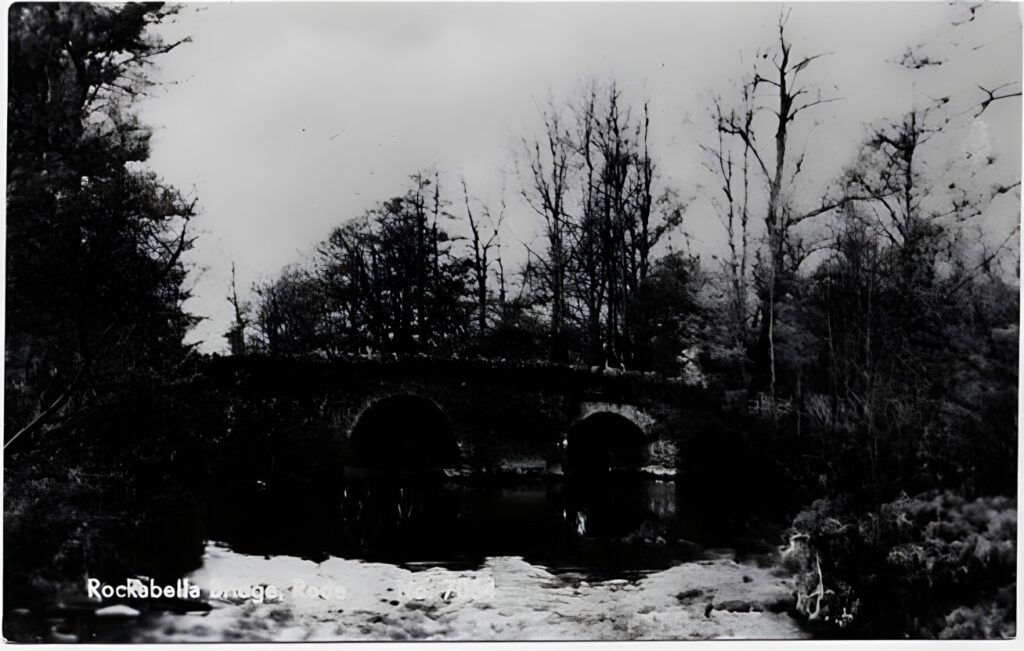
Somerset HER record: Scutt’s Bridge is a packhorse bridge, 3ft wide between parapets, on the disused track from Rode to Wolverton. {1}. The bridge is very narrow with 2 large cut-waters on the upstream side which give the impression that the bridge was once wider. Marked hollow ways approach from each side. {2}. Between 1765 and 1796 the Rode parish waywardens occasionally repaired a timber “Cradle Bridge” at Scutts Bridge, in addition to carrying out masonry repairs on Scutts Bridge itself. {3} In 1879 “Scott’s Bridge Road” was described as “a narrow road, leading to Scott’s Bridge, where there was formerly a ford. Length, about 200 yards. It is much frequented by foot passengers” {4} From the evidence of the extended cutwaters still visible on the upstream side and the mention of a former ford, it seems likely that the 18th century cradle bridge was a timber structure supported on these cutwaters, and that it was built for cart traffic, to replace a ford alongside the narrow pack- and foot-bridge. {5}
References:
1 Detailed records – Ordnance Survey Archaeology Division record card. Record ID: ST 75 SE 14 (1964) Location: HER files.
2 Verbal communication – Webster, CJ [Chris]. Somerset County Council, Historic Environment Record (March 1998). Location: Verbal, electronic or direct entry, no source retained
3 Historical reference – Surveyors’ accounts. (1765-1798) Available at Archives and Records at Somerset Heritage Centre. Reference: D/P/rode 14/5/1
4 Historical reference – Highways – miscellaneous papers (accounts for 1725 including payments to identified pipe makers for ashes for the … (1725-1882) Available at Archives and Records at Somerset Heritage Centre. Reference: D/P/rode 14/7/1
5 Correspondence – Greenfield, D (David), email to Somerset County Council Historic Environment Record (6/11/2002). Location: Verbal, electronic or direct entry, no source retained.
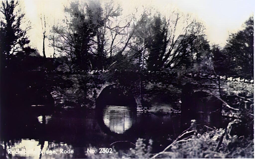
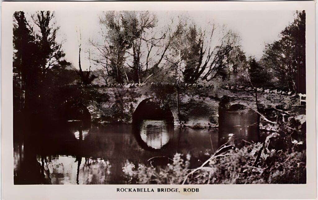
The bridge is located on the ancient track between Rode and Woolverton. The track on the Rode side of the river is now known as Rockabella lane or hill, (after an 18th century house and mill of that name at the bottom of the hill) although it also seems to have been known as Scutts Bridge lane. To add to the confusion there was also another, much larger, mill called Scutt’s Bridge Mill upstream of the bridge.