Maps

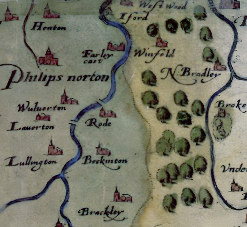
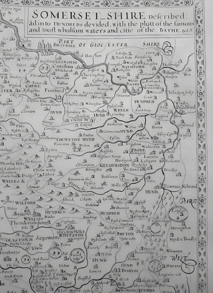
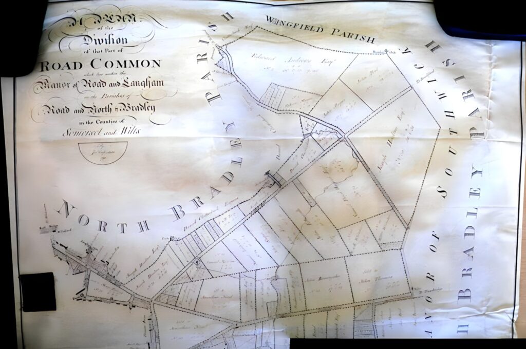
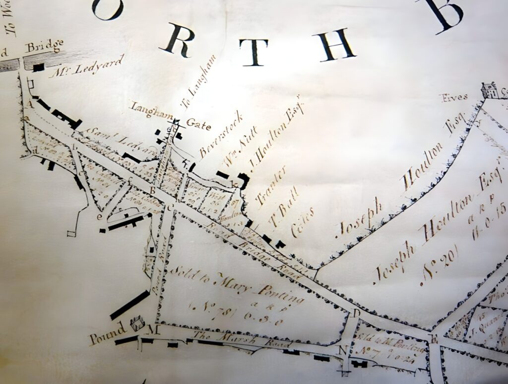
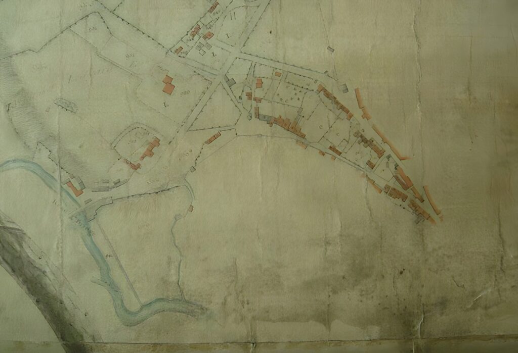
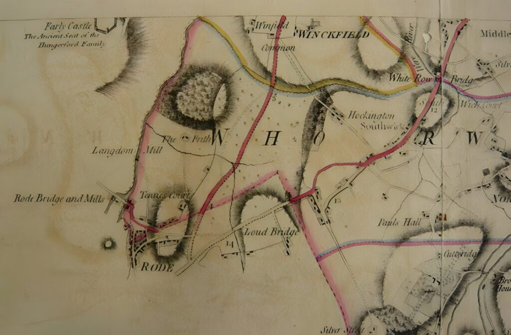
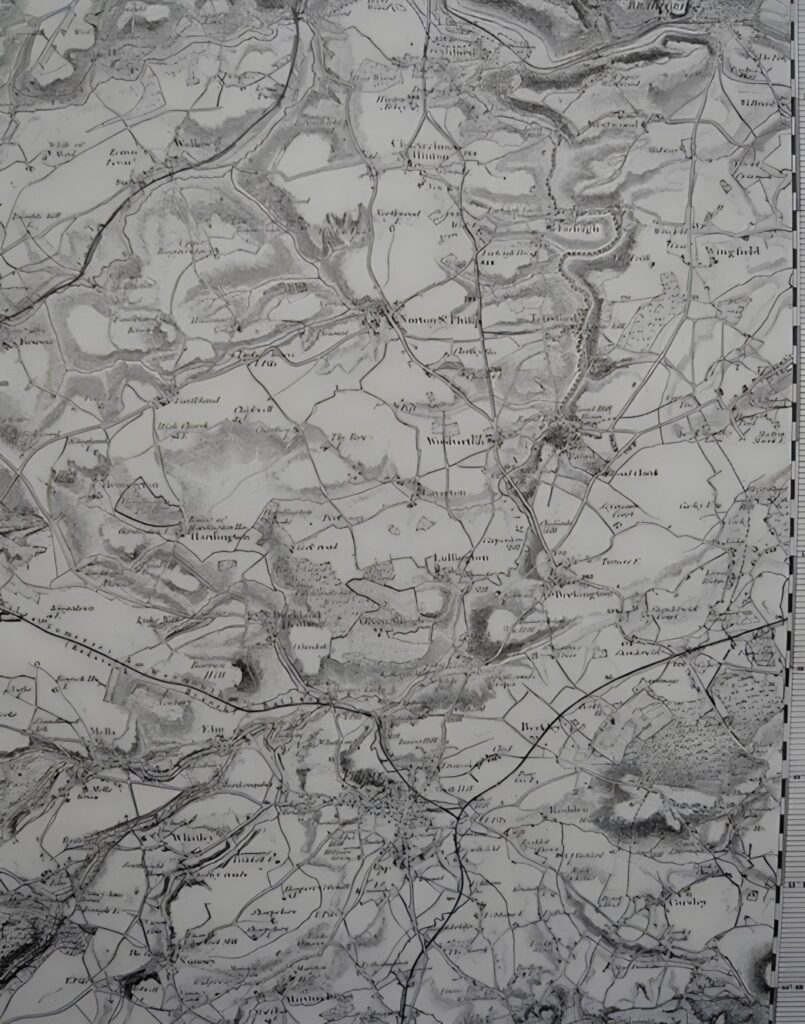
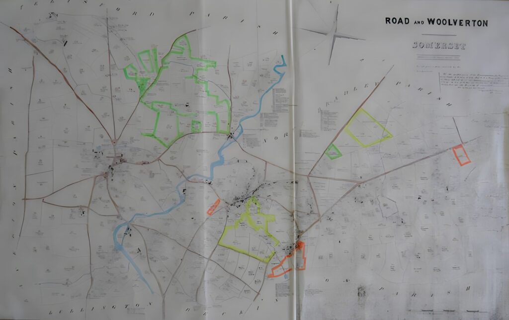
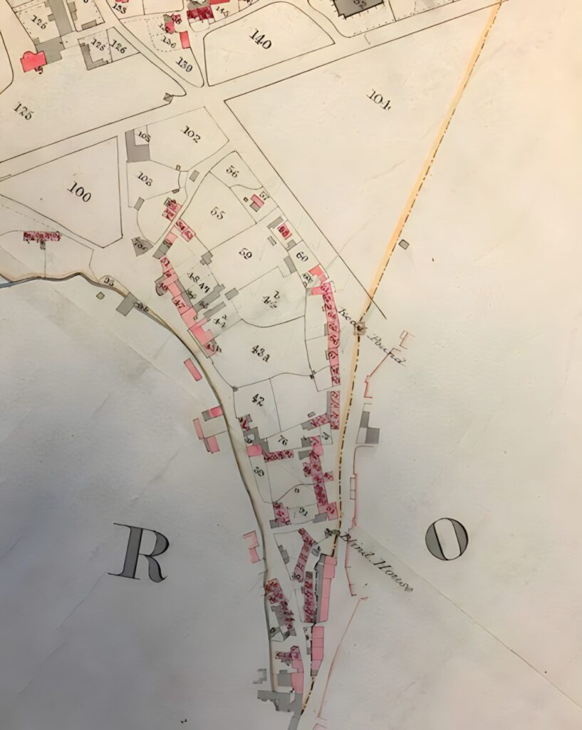
A collection of maps of Rode village down the ages. Some of the later maps are now available on “Know Your Place”. This is a free website which provides online access to a range of heritage data and enables users to compare historic maps of a specific area.

Above: Saxton’s Map, 1575
Above: Somerset map, 1610
Above: Rode Common enclosure map, 1792
Above: Rode Common enclosure map (detail) 1792
Above: Rode Hill survey map, 1806
Above: Andrews & Dury map of Wiltshire, 1810
Above: Ordnance Survey map of Somerset, 1817
Above: Rode tithe apportionment map, 1839
Above: Rode Hill tithe apportionment map, 1843
Published
6 August 2023
Last Updated
25 May 2024